A picture about urban ecology is worth 1,000 words, but the words are pretty good too

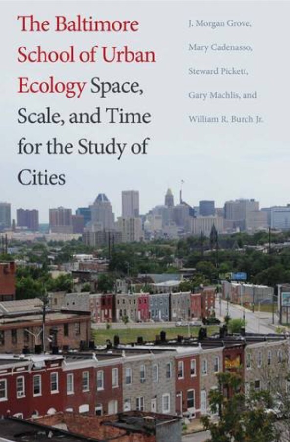
Last fall, Yale University Press released The Baltimore School of Urban Ecology: Space, Scale, and Time for the Study of Cities.

  
The book recognizes the Chicago School of Ecology but, using research findings of the Baltimore Ecosystem Study (BES), calls for a new approach to urban ecology using patch dynamics as a foundational concept.

The recognition of the Baltimore School of Ecology as a school of thought and as an outgrowth of the work of BES is pretty exciting.

To get a feel for the flavor of the book, its figures are posted on the BES website.

A figure from the Baltimore School of Ecology

As informative as the figures are, you need the text to contextualize them and get the whole story. If you’re interested in cities as social and ecological systems, this is a book you’ll want to read. It is available in hardcopy and ecopy, from Yale University Press and Amazon.

Working to improve Baltimore’s urban waters

We had a productive year in the Baltimore Urban Waters Partnership. Our conceptual and operational template has served us well.

img_0171

Baltimore Urban Waters Partnership framework

Key principals:

  • Reciprocity
    • Linking needs with resources to offer.
  • Resources are not the same as funds
    • Labor, land, data, knowledge, legitimacy, networks
  • Synergy and cohesion
    • The whole is the result of the productivity AND interactions among the parts.
  • Interactive
    • Parts and their interactions promote the exchange of resources.
  • Dynamic
    • Flexible, opportunistic, adaptive, timely to changes in needs and flows of resources.

We report on our 2015 activity related to this framework by way of a downloadable, interactive PDF posted here. The first page is instructive; the activity report begins on page 2.

Thanks to all of our partners for a great year! Please feel free to join our Baltimore Urban Waters LinkedIn group to keep up with current announcements.

Look for our strategic planning session in spring 2016 as we collaborate on a revised operational template (Baltimore Urban Waters 2.0) to support our next phase.

Smart Growth comes to downtown Baltimore

Today we had the pleasure of hosting Cristina Davia of the Smart Growth Information Clearinghouse for a tour of the work of the US Forest Service Northern Research Station Baltimore Field Station‘s work.

We highlighted the work of the Baltimore Urban Waters Partnership and it’s framework of interactive and interdependent elements.


Conceptual framework for the Baltimore Urban Waters Partnership

  
We took a (very wet) tour of sites from the Growing Green Initiative. Based on the Green Pattern Book, funded by EPA and Baltimore City, and administered by the Chesapeake Bay Trust, the Growing Green Design Competition supported the design and installation of green infrastructure projects on vacant lots in Baltimore.


At the Bridgeview/Greenlawn Community Enhancement Project, impervious surface removal and rain gardens are part of a new community amenity


At Druid Heights Peace Park, seating areas with previous pavers outfall into downslope raingardens

 
It was great to witness Growing Green Design Competition projects coming to completion (and seeing them function in the rain). For more info on the Growing Green Design Competition’s progress, check out this ArcGIS Growing Green Design Competition StoryMap from the Baltimore Office of Sustainability: http://arcg.is/1O1hkNt

An integral part of Models and Monitoring component of the Baltimore Urban Waters Partnership framework is the water quality monitoring done by members of the Baltimore Ecosystem Study, including USGS


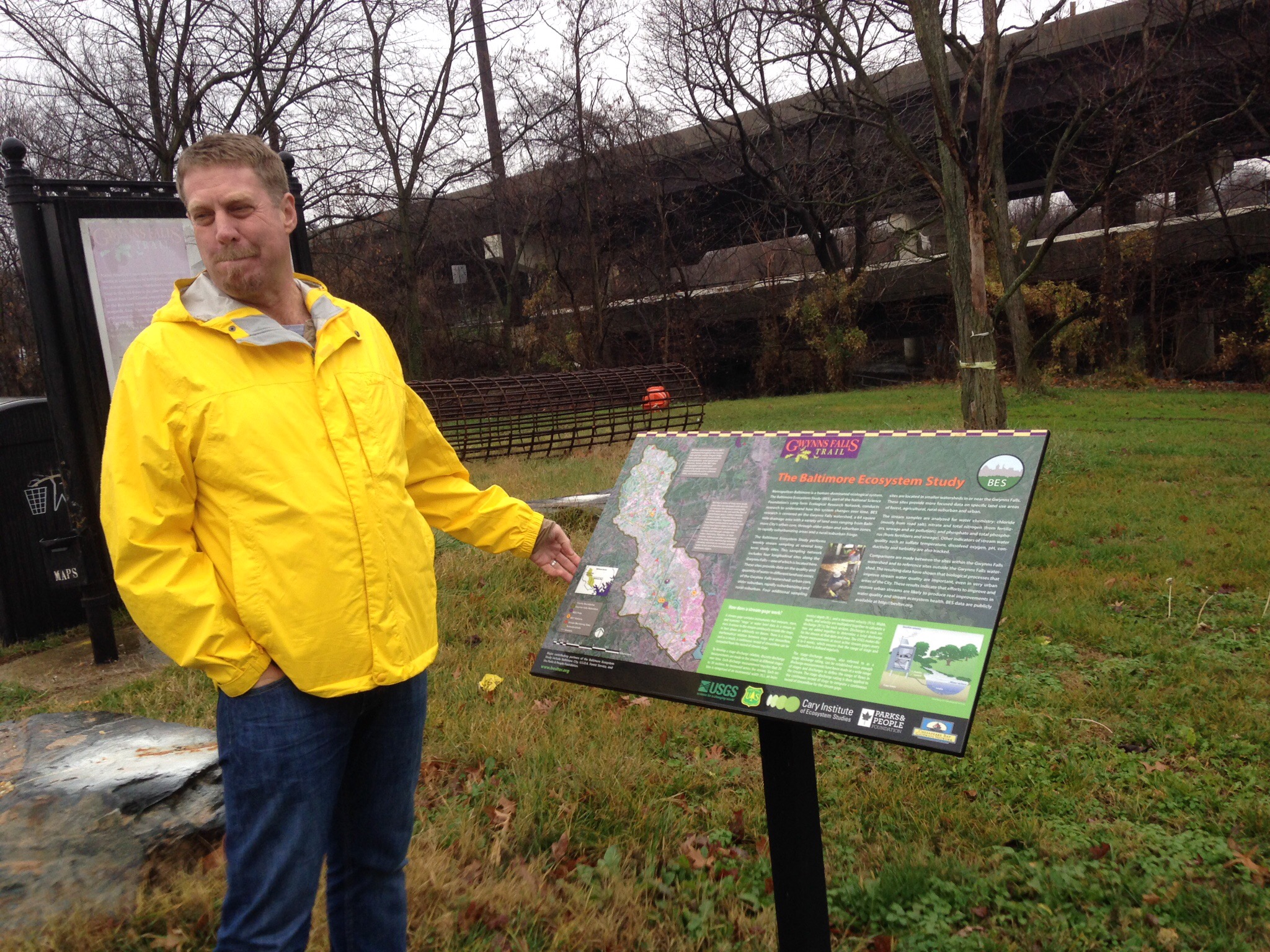
Dr. Morgan Grove of USFS NRS talks about the work of the Baltimore Ecosystem Study in analyzing the Gwynns Falls watershed

 
Thanks to Cristina for taking the time to visit with us and learn about the Baltimore Urban Waters Partnership. You can find out more about the Smart Growth information Network on their web site, their LinkedIn group, and on Twitter.

The Consulting Group at SavATree provides project support to the US Forest Service Northern Research Station and the Baltimore Urban Waters Partnership.

Green infrastructure and resilience, urban heat island, and environmental equity in coastal Los Angeles

The Center for Urban Resilience at Loyola Marymount University retained the Consulting Group at SavATree with alliances the University of Vermont Spatial Analysis Lab and Dexter Locke to look at green infrastructure and its relationship to resilience, urban heat island, and environmental equity in coastal areas near Los Angeles, CA. 

This week we had the opportunity to present our methods and findings to LMU CURes and partners. By fusing high resolution remote sensing imagery with LiDAR, we were able to create a highly accurate 7-class land cover product.


7-class land cover product

 
By mashing up the land cover with various other data, we are then able to report on existing and potential tree canopy over the study area as well as to relate these data to various other categories and geographies of interest such as land use type and surface temperature.


Tree canopy infographic for the study area

 
We then looked at the distribution of green infrastructure relative to resilience (tree canopy, impervious surfaces), environmental equity (minority population, income), and urban heat island (surface temperature). 


Green infrastructure prioritization model and output – high priorities in red, low priorities in blue

 
We then used ESRI Tapestry market segmentation data to look at what market segments have more or less relative tree canopy.


Distribution of tree canopy by market segments. Segments with the same letter are not statistically significantly diffent.

 
While the trend is generally downward from left to right (higher income market segments are on the left and decrease as we go right), the pattern was more subtle and complex than a linear relationship.

We followed up with a discussion with stakeholders and researchers on how they may use these findings, and how they may use these data to ask and answer new questions in their own research and efforts.

We are excited to begin this conversation with our partners at LMU CURes and look forward to more collaboration to support resilience and equity in the Los Angeles area.

City farm to city table in Baltimore

Last Friday we had the opportunity to host some folks from the USDA Urban Ag Working Group to show them some urban farming in Balitimore. We toured and met with representatives of:

  • Civic Works, an NGO urban farm operation;
  • Whitelock Community Farm;
  • Big City Farms, a for-profit B Corp; and,
  • Green Street Academy, a public environmental charter school.

Civic Works’ Real Food Farm

Real Food Farms is an NGO whose offerings include a farm on 8 acres in Clifton Park, a mobile farmers market, a community-supported ag co-op, and produce sales to restaurants and institutions.
 

Whitelock Community Farm at Reservoir Hill

 
Whitelock Community Farm‘s mission is to pursue affordable sustainable fresh food sources, provide neighborhood job creation, and help revitalize the neighborhood through greening and positive community activity.

 The farm also implements its mission through farm-based learning programs such as gardening and cooking classes for children and adults. We believe that everyone has a right to affordable, healthy, quality food accessed in a way that is environmentally sustainable and socially just.


Strength To Love II at Big City Farms

 
Strength To Love II is an NGO group of ex-offenders and people of faith coming together to improve lives in the community under the leadership of Newborn Community of Faith Church. Big City Farms, a Baltimore-based, for-profit B Corp urban farming company, is building a network of urban farms that create good jobs for worker-owners, transform neighborhoods by improving vacant and blighted urban land, and produce ultra-local, organically grown, healthy food using sustainable, biological growing methods. They grow, process, and sell produce from their network of hoophouse farms to restaurants, institutions, grocers, and individual consumers. BCF provides training, oversight, and market connections to the S2LII operation at Fulton and Monroe, and will ultimately transition the site operation to S2LII.


Green Street Academy

 
Green Street Academy is a public environmental charter school. They have a number of agriculture and aquaculture programs for students, including an urban ag project being undertaken cooperatively with Civic Works’ Baltimore Orchard Project.

Urban agriculture takes many shapes in Baltimore, but the variety efforts are all supporting the triple bottom line of ecology, economy and community by creating jobs and providing food security.

Many thanks to Abby Cocke of the Baltimore Office of Sustainability for her great work in helping to coordinate and provide context for the tour stops.

Thanks to our colleagues from USDA for taking the time to learn and share with us in Baltimore!

The Consulting Group at SavATree provides project support to the US Forest Service Northern Research Station and the Baltimore Urban Waters Partnership.

Watershed Moments: Art and the Baltimore Ecosystem Study

  
Last night I attended Watershed Moments: Art and the Baltimore Ecosystem Study; A three-part exhibition featuring visual art and design connected to the research of the Baltimore Ecosystem Study.

It featured a unique fusion of art and science, with three exhibits.

BES Artist-In-Residence Helen Glazer describes her work


John Pitas presents Still Here: photos and testimony from residents of West and Southwest Baltimore


BES Director Steward Pickett presents the Gwynns Falls Patch Atlas

 
If you did not make it last night, you still have time!

Location: SpaceCamp, 16 W. North Avenue, Baltimore, MD 21201

 Dates: October 3-30, 2015

Gallery Hours: Weds.-Fri. 5:00-8:00 pm, Sat. 12:00 – 5:00 p.m. 

More details can be found at: http://beslter.org/teasers_ajax/landing-watershed-moments.html

Spending time with grand trees in Charleston, SC

Last week I had the opportunity to spend some time with my SavATree colleagues and some amazing trees in Charleston, SC.  It was fantastic to spend some time around some old live oaks on historic properties in and around the city. These trees were too good not to share.


The Middleton Oak at the Middleton Plantation is estimated to be hundreds of years old. My collegaue Stan Holat is standing against the trunk to provide a sense of scale. Big tree! It exhibits a pattern of lower limb failure sometimes seen in very old oaks.


The widely known and highly revered Angel Oak.


Charleston city arborist Danny Burbage tells us about the histories of trees in the historic district

 
A fantastic time full of great trees and Southern hospitality. Added bonus – the pecan pie was the best ever!


Tools for restoring vacant urban lots

The US Forest Service Northern Research Station has just launched a toolkit to help agencies, NGOs, and community groups with vacant lot restoration efforts.

The Green Pattern Book and Green Pattern Registry were developed and launched in support of the Baltimore Urban Waters Partnership.

  
The Green Pattern Book is a planning and implementation guide for greening vacant land—whether as a holding strategy awaiting future development or an immediate action for putting the land back into productive use. The Green Pattern Book establishes a common language that City agencies, nongovernmental organizations (NGOs), community-based organizations, and residents can use to collectively address vacant land.

The Green Pattern Registry is tool for identifying prospective and actual sites to implement the 8 typologies in the Green Pattern Book. For each element of the Green Pattern Book, BNIA-JFI,,the map creator, compiles data from a variety of primary sources and adds it to a spatial database that connects to Vital Signs community-based indicators, real property records, vacants to values properties, and adopt-a-lots. It is made accessible via a web-based interactive map. It allows green projects to be contextualized with a variety of community indicators related to economic and workforce development, crime and safety, human health, housing, demographics, etc.

These tools were developed in Baltimore for Baltimore, but much about them is transferable elsewhere. 

You can learn more about the work of the Baltimore Urban Waters Parnership in vacant lot restoration from the Urban Waters Learning Network.

The Consulting Group at SavATree provides project support to the US Forest Service Northern Research Station and the Baltimore Urban Waters Partnership.

Happy birthday, Brownfields!

It’s the 20th anniversary of the Brownfields program, and I was fortunate to be a part of the Brownfields 2015 Conference in Chicago this week. I got a warm welcome from everyone including my in-room tablet.

  
Mayor Rahm Emanuel shared his vision for a green Chicago and EPA Administrator Gina McCarthy talked about how Brownfields revitalization and urban greening can help build community.


EPA Administrator McCarthy addresses attendees

 
An added bonus was the opportunity to spend time in Millenium Park, a stunning urban Park at day or night.


Residents get a break from the heat in an interactive water feature in Millenium Park

 
I was presenting to help tell the Urban Waters story. Urban Waters is a great initiative led by EPA nationally and by a variety of federal agencies locally. I help the U.S. Forest Service Northern Research Station implement the Baltimore Urban Waters Partnership. Many Brownfields abut waterways, so looking at ways to help the two efforts find common interest was great. Our presentation was: Waterways to Revitalization: America’s Federal Urban Waters Partnerships.

You can find out more about the Baltimore Urban Waters Partnership here. If you are interested in forming an Urban Waters Partnership, EPA’s Urban Waters Partnership handbook is now available online.

The Brownfields program has done a lot to revitalize communities over the last 20 years. Thanks to EPA for helping revitalize cities with Brownfields and Urban Waters Partnerships.

Urban Ecology, Hon!

Last weekend the Urban Ecology Collaborative (UEC) held its annual meeting in Baltimore., and I had a great time participating. The UEC is a community of practice made up of public (federal, state, municipal) and NGO urban foresters from cities across the east (Boston, Worcester, Providence, New Haven, New York, Newark, Philadelphia, Pittsburgh, Cleveland, Baltimore, and Washington, DC.) 

While all cities weren’t able to make it, we still had a great meeting.

Dr. Morgan Grove, USFS Research, shares research on effects of urban forest patch size and shape on urban heat islands


Cylburn Arboretum and Mansion are beautiful – take a tour!


Learning about permaculture, urban ag, and farm forests at Civic Works’ Real Food Farms


Turning tree canopy map data into a plan via Prioritiztion with TreeBaltimore


Whether touring BlueWaterBaltimore‘s blue alleys (turning alleys into stormwater management features via permeable pavement), learning about Baltimore GreenSpace‘s unique efforts to identify and manage urban forest patches,  or hearing TreePhilly present on making arborly love, it was a great time for best practices sharing.

Many thanks to TreeBaltimore for coordinating the meeting and to Baltimore City Rec and Parks and the Parks & People Foundation for hosting our meetings.

You can learn more about the UEC from their website and from this article from City Trees magazine.